community guide to Eugene and beyond
Kentucky Falls
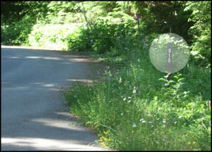
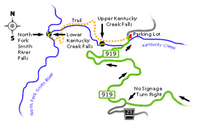
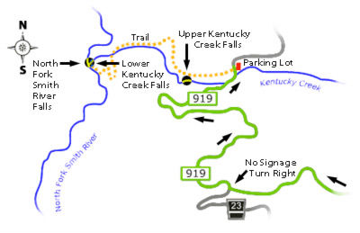
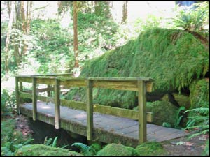
You'll enjoy this gem of a hike just over 45 mles west of Eugene. Drive west on Hwy. 126 (West 11th). Approximately 33 miles from Eugene you will exit the highway onto Whittaker Creek Rd. Follw the signs for the predicted 16 miles, with wonderful views, until you get to a road without any signage. This crossroad is 919 as noted on the small marker nearby. You will need to turn right and drive over the hill and down into the Kentucky Falls recreation area.
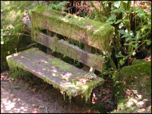
The view below is from a convenient bench placed below the confluence of the two waterways. These photos are from the summertime when the flow is fairly low. Visit the Falls in the Winter or Spring for higher volumes.

Use our Kentucky Creek Map for definitive directions.
The hike in descends 800 ft in elevation over two miles (4 miles round-trip) and is considered a difficult to moderate hike by the Forest Service. Before you arrive at the intended destination of the dual falls you will come to the Upper Kentucky Creek Falls.
Quick Connect
Hiking the Oregon Coast Range in Western Oregon.
Visit the Siuslaw National Forest website for alternate information.
Learn more about the
We feel our driving directions are helpful for the last portion of the drive as noted on the right.
 This photograph of Lower Kentucky Creek Falls was taken from the large viewing platform. Both of the falls are just under 98 ft. in height.